30th Lake Macquarie Rogaine · 2022 · By Keelan
I thought I’d write down a few thoughts about our six-hour rogaine at Lake Macquarie. Post-race analysis is always full of what-ifs, but I reckon there are lessons in looking back at the decisions you made out there. The most important goal was to have fun, and we certainly achieved that. 🙂

A different pace, and a first rogaine for Annie
It was fun approaching route planning differently with Annie, who generally runs about a minute per kilometre slower than my usual pace. I led the navigation for roughly 95% of the event and really enjoyed that side of it. We still covered 43.6 km in six hours, and were running under 6:00/km towards the end, so we were definitely moving!
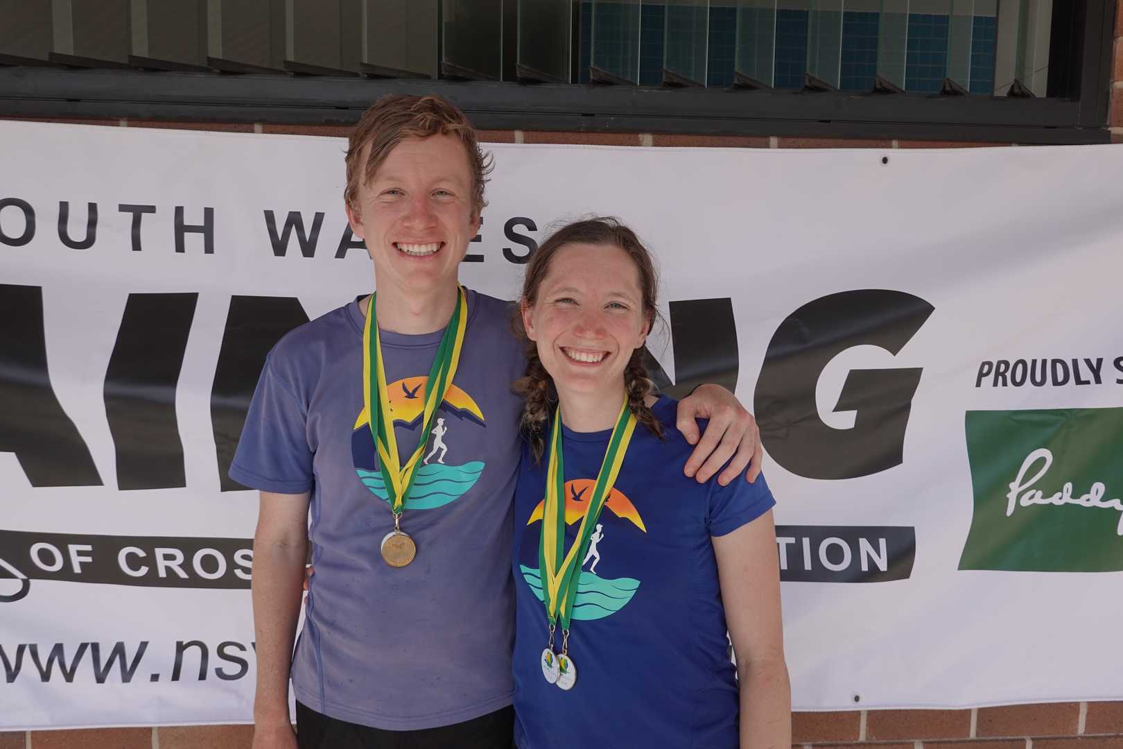
We finished with 2,580 points, third overall and first in the six-hour mixed category. I was especially pleased for Annie: this was her very first rogaine, and she did so well. She summed it up afterwards: “Super fun, in a team with Keelan. We actually won the mixed teams and came 3rd overall!! I like this sport already haha 🤠”
Our runs, by the watches
Keelan’s Strava recording: 43.64 km · 5:59:06 elapsed · 1,071 m elevation gain · 8:14/km average pace · 7:25/km grade-adjusted pace.
Annie’s Strava recording: 43.68 km · 5:59:14 elapsed · 1,136 m elevation gain · 8:13/km average pace · 7:19/km grade-adjusted pace. Small differences between the watches are normal; these are our respective activity recordings, not two different team results.
The opening: fairly clear, until it wasn’t
Our opening sequence was 65–58–67–75–92–100–36–64–61–52–41. That took around 1 hour 5 minutes, including roughly five minutes lost along the way. From there the choices became much more interesting. How should we fit in controls 80, 85, 70 and 72? There were 300 points on offer, but plenty of scope to lose time. It looked enticing on the map. In hindsight, I reckon taking the bait was our biggest route-planning mistake. Good course setting!
We initially went for 85, only to discover that a track marked on the map didn’t exist where we expected it. We backtracked, collected 80 first and then reached 85, losing about ten minutes. Next came 70 — as I put it in my Strava post afterwards, our “only real boo-boo”. We ended up on minor tracks to the south that seemed much more substantial on the ground, and searched alongside three other teams. After about 20 minutes we gave up and left without the control.
That meant about an hour spent for 160 points. Even with really good navigation, could we have collected the full 300 in an hour? Maybe, but I don’t think that cluster was worth it for us. I’m not complaining about the unmapped tracks — that’s rogaining, and the navigation errors were ours. They certainly kept us on our toes.
Working our way east
Once we were back at 81, the route looked clearer: 42–66–100–82–43–95–77–76–49–93–102–96–103–68. We lost another five minutes trying unsuccessfully to get between the road and cliffs behind some properties. The eastern streets made for a good navigational puzzle. As an aside, the map scale felt closer than 1:25,000 on the streets, though that might just have been the contrast with the bush and hillier controls.
At 68 we had about 90 minutes left. I didn’t think control 37 was worth an out-and-back, and we chose 57–20–56–33. I also didn’t think 21–22–35, or 31 and 23, offered enough return. Control 48 might have been worth a short out-and-back.
The risky finish that paid off
We reached 33 with roughly 1 hour 10 minutes remaining. Without our navigation errors, that could have been closer to 1 hour 45 minutes. The northern loop through 60–53–72–94–46–69–104 offered about 470 points, but I reckoned it needed at least an hour. It might have been a better use of time than chasing the middle cluster earlier.
With the clock ticking, we made a riskier call: 50–62–45–63 through the dunes. Our navigation was good in a potentially tricky section, and from 63 we finished via 39–78–29–59–28–HH. I was particularly happy with how we closed out the event.
The inevitable what-ifs
We probably lost around 35 minutes to errors. In a perfect world, that extra time might have let us pick up controls such as 48, 47, 27 and 104 — perhaps another 220 points or so. But who knows? That’s easy to say afterwards, sitting comfortably with the map.
My main alternative would have been to keep our opening sequence, skip the 80–85–70–72 cluster, go directly to 81 and follow the eastern controls before spending the extra time on a northern loop. On paper, I estimated an ideal route at about 2,940 points. Allowing for roughly 30 minutes of navigation errors and dropping around 150 points’ worth of controls brought that hypothetical score to about 2,790 points — only 210 more than we actually scored. It’s a thought experiment, not a claim that the alternative would definitely have worked.
For completeness, controls 30, 40, 55, 34, 44, 74 and 91 didn’t seem worth pursuing in the route scenarios I considered at the time. That’s my very much non-expert reading of the map, rather than a universal verdict on anyone else’s choices.
The lesson: don’t get too enticed
I really enjoyed the course, the event and the chance to navigate with Annie. The middle cluster and the weaving routes through the eastern streets made the course setting especially interesting. My biggest lesson? Don’t get too enticed by the course setter — even when you told yourself beforehand that you wouldn’t!
Happy with our result, delighted we had fun, and keen to come back for more. Cheers!
Keelan