
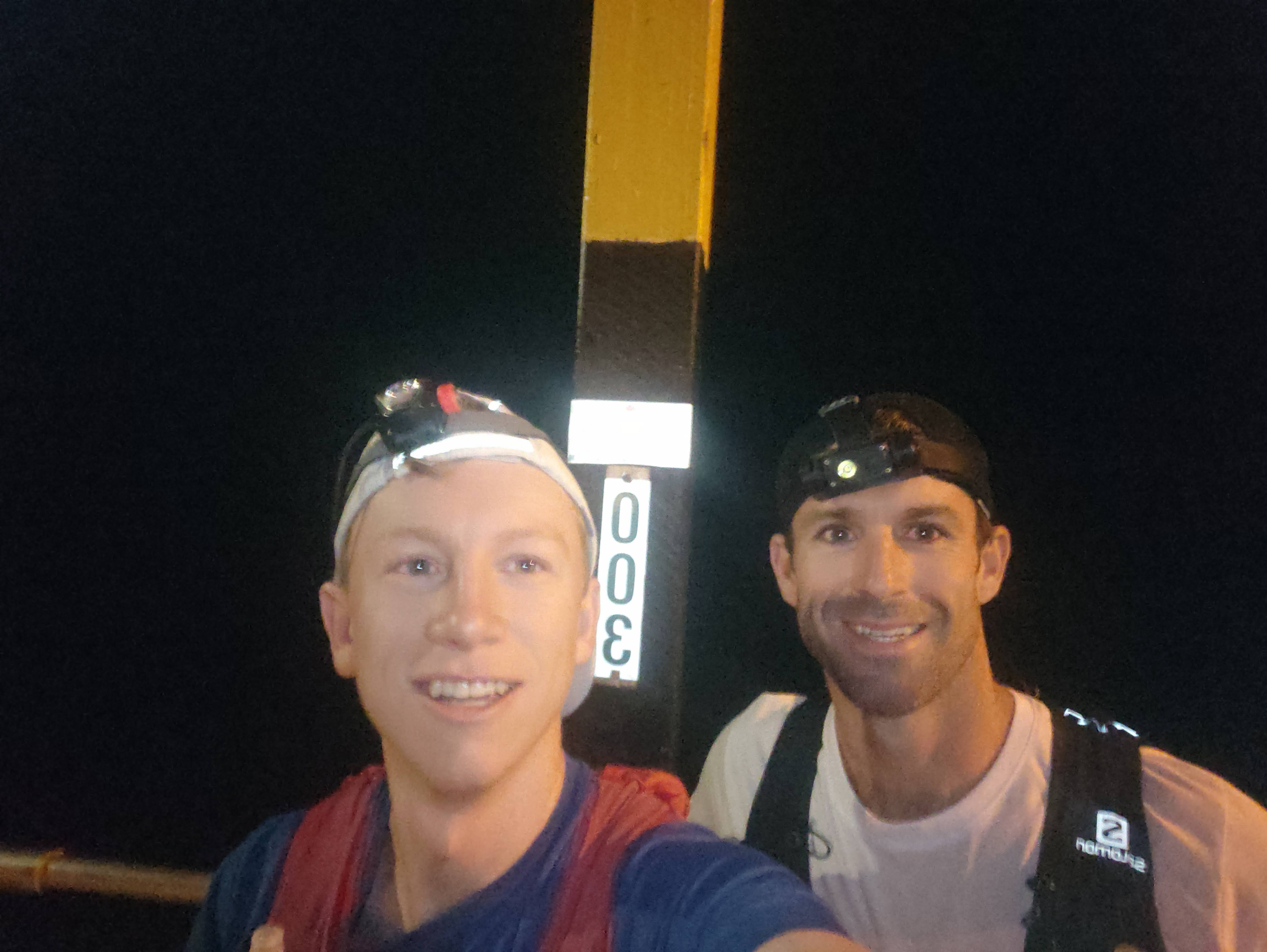
The Coffs Hinterland Round had been years in the making — scouting trails, linking ridgelines and wondering whether all the pieces could be joined into one enormous loop from the coast, through the mountains and back again. On 4 March 2023, Jayce Nixon and I finally set out to find out.
Route details
- Route: Coffs Hinterland Round
- Date: 4 March 2023
- Team: Keelan Birch & Jayce Nixon
- Style: Supported
- Time: 17:39:39
- Direction: Anticlockwise
We started at the end of the Coffs Harbour Jetty at 4 am and headed anticlockwise. In hindsight, clockwise would probably be the better direction — something I’d eventually test when I returned to the route in 2024.
The coast before sunrise
We followed the coastal paths towards Macauleys Headland and Diggers Beach. Under headtorch, Diggers was alive with crabs scuttling across the sand, while bandicoots and wallabies appeared along the paths towards Korora.
With the steps at Pine Brush Creek closed, we used an inland path near Opal Cove before following Solitary Islands Way to the bottom of Gaudrons Road. Chris Hamilton, Mark Kirstein and Ben met us there for the first major climb of the day at around 5 am.
Gaudrons, Rover and the escarpment
The climb up Gaudrons Road felt manageable with fresh company, and then we moved onto Rover Trail. Rover is steep and rutted in places, with grassy sections slowing progress, but the cool morning made it a good time to tackle the Korora Escarpment.
We caught glimpses of a great sunrise before switching the lights off around Bruxner Gap. There we met Annie, Tait Hearps, Tom Filippopoulos and Cooper the Kelpie.
Tait, Tom and Coops joined us up towards Sealy Lookout and then along the ridgeline towards End Peak. Some sections were disappointingly overgrown, but with good company the kilometres kept ticking over. We picked up Simon Blackburn and enjoyed the descent along Shelter Road.

Mt Coramba and the first hot spell
We climbed Mt Coramba via Taylors Creek. By around 33 km the day was warming quickly, with the eastern side of the mountain catching the early sun.
Jayce ran out of water on the climb and I ran out coming down Rocky Trail. After taking in the summit views, Tait and Tom left us while Simon continued down with us. Rocky Trail was slow going.
We reached East Bank RFS about 5 hours 30 minutes into the day at roughly 38 km. A lot of the steep, slow climbing was now behind us and we were reasonably close to our expected schedule.
It was great to find a crowd waiting at the RFS shed — Annie again, Ben Happ, Samantha Birch, Peter Birch, Simon Dobson and Leanne. Cooper finished his 20 km shift there, and Ben joined us towards the footbridge.
I changed shoes and we picked up Annie for the next section.
Coramba to Ulong
By now it was into the high 20s as we climbed Ridge Road and Eastern Dorrigo Way. The gradient was consistent and manageable, but it seemed to go on forever.
At around 50 km and 2,500 metres of climbing we reached the Ulong Community Notice Board at Langleys Road. My parents had food waiting and we bumped into Anna Gaynor and Meredith Veale, who ran ahead and also confirmed that Top Trail was best avoided because of its condition.
I quickly ate avocado and Vegemite sandwiches along with some other food. In hindsight, shovelling it down that fast wasn’t a brilliant idea. My stomach churned along Langleys Road and this became my only real physical low point of the day.

Into Bindarri
Conditions became much cooler once we entered Bindarri National Park. The rainforest was beautiful and the change in temperature was welcome.
We had great timing and bumped into Jacqueline Nixon and the kids as we reached Range Road, where we refuelled for the longest stretch of the day.
I was feeling good again by the time we reached Bangalore Falls at around 67 km. The waterfall looked incredibly tempting. Loudens Road through Bindarri became one of the highlights of the route — cooler conditions, beautiful creek country and great forest surroundings.
We climbed towards Mt Wondurrigah, which was supposed to be the final real climb of the day. Kind of.
It was great to see Henry Higgins there because what came next was easily the hardest section of the route.
Three kilometres in 1 hour 45 minutes
At around 75 km we left the easier terrain for the roughly 3 km off-track traverse towards Legge Lookout.
It took about 1 hour 45 minutes.
Vines, large rocks and slippery terrain made progress painfully slow. We had reconnoitred the section beforehand, so the difficulty wasn’t a surprise, but after 75 km it still felt like a slog.
Andrew McDonald joined us towards Legge Lookout and it was an enormous relief to finally get back onto a proper track and take in the view.

Peak Trail and the fading light
The steep descent from Legge was tricky as always. Henry and Andrew pushed on with us along Peak Trail.
Despite being net downhill, the terrain was rocky and technical enough that 12 km took around two hours. Darkness began to settle over the range and running became increasingly difficult.
Along the way we tagged Bonville Peak and the tower before finally descending towards Wedds Road.
Twelve kilometres left — and finally some running
Reaching Wedds Road and seeing Jac was a huge relief. There were about 12 km of road left and, after so much slow and technical terrain, I was genuinely looking forward to being able to run properly.
We dropped off unnecessary gear and I was surprised by how good my legs still felt. Philip Viles, Trudy, my parents and Annie came out, and Dad joined me for the final section along Hogbin Drive.
After more than 17 hours on my feet, I was still able to run around 6:30/km as we made our way back towards the Jetty.

Back where we started
We arrived back at Coffs Harbour Jetty at around 9:40 pm.
Total time: 17 hours, 39 minutes and 39 seconds.
For me, finishing the loop was about much more than setting a time. I hadn’t run 100 km since UTA in 2018 and had dealt with plenty of injuries in the years between.
My legs felt relatively injury-free throughout the day, partly because we were moving at a controlled pace without the pressure of racing. More importantly, I finished strongly. Being able to run the final 12 km and reach the end feeling as though I could have kept going was something I hadn’t experienced before in a run beyond 70 km.
That gave me a lot of confidence about what might come next.
What we learnt about the route
This first full lap taught us plenty. In particular, I came away thinking clockwise would be the better direction. Tackling the slow off-track section after 75 km was hard work, and the same applied to the rough Peak Trail and Wedds sections late in the day.
We also refined several route choices: using the inland path around the closed Pine Brush Creek stairs, Gaudrons Road rather than private-property alternatives, Dump Track for Mt Coramba, Eastern Dorrigo Way rather than the overgrown Top Trail, and Wedds Road for the final connection towards the coast.
Those lessons would eventually feed into another attempt the following year — this time clockwise.
Food and gear
I used Trail Brew through roughly the first six hours, then a mixture of lollies, Zooper Doopers, sandwiches, chips, Clif Bloks, muesli bars, ginger beer and Coke later in the day. Water remained the main fluid throughout, alongside Trail Brew earlier on.
I wore Topo Ultraventures for roughly the first 40 km before changing into On Cloudsurfers for the remainder, which worked really well. I also changed Injinji socks at around 40 km and carried poles for the entire day.
It took a community
So many people came out to support us, followed the tracker or sent messages throughout the day. That support made the kilometres pass much more quickly.
Thank you to everyone who ran sections with us — Chris, Mark, Ben, Tait, Simon, Tom, Anna, Meredith and Andrew — along with Simon and Leanne for the lollies, Henry Higgins for joining the hardest section, Jac for supporting us in Bindarri and at Wedds Road, and Phil and Trudy for being there towards the finish.
A huge thank you to Annie, who was my number-one supporter throughout the day, and to Mum and Dad for supporting us around Coramba, Bindarri and the finish.
And, of course, thanks to Jayce for sharing the entire day. Great company, a huge effort and a memorable way to finally bring the loop together.
Years of exploring, one complete loop
The Coffs Hinterland Round was the culmination of years of scouting, exploring and imagining how the trails behind Coffs Harbour could connect.
The terrain was slow in places and the route certainly wasn’t perfect yet, but standing back at the Jetty after nearly 18 hours, the most satisfying thing was knowing the idea actually worked.
We’d left the ocean in darkness, climbed onto the escarpment, crossed Mt Coramba, travelled through Bindarri and the high country around Mt Wondurrigah and Legge Lookout, then descended all the way back to the coast.
The first lap was done.