
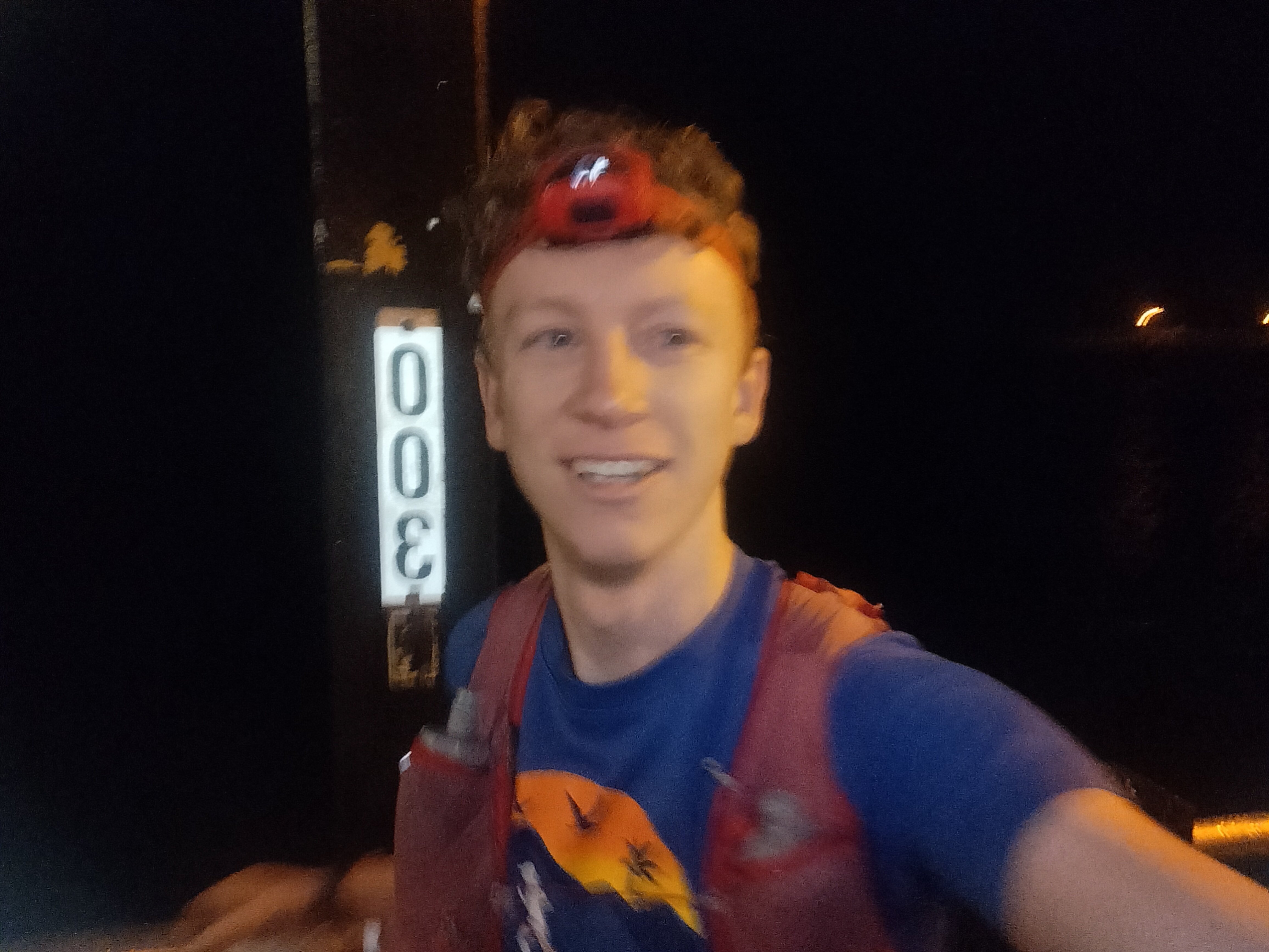
There’s something satisfying about drawing a huge loop around home and then trying to run it. On 6 April 2024, I set out from Coffs Jetty before dawn for another lap of the Coffs Hinterland Round — 109 km and around 4,000 metres of climbing through some of the best, roughest and most varied country behind Coffs Harbour.
Route details
- Route: Coffs Hinterland Round
- Date: 6 April 2024
- Distance: 109 km
- Climbing: Around 4,000 m
- Time: 15:49:01
- Style: Supported
- Direction: Clockwise
- Improvement: Around 1 hour 50 minutes on my previous run
Back for another lap
I’d completed the loop for the first time the year before, travelling anticlockwise. With no races in the first half of 2024, I decided to come back, run it clockwise and see if I could move around it a little quicker.
I left Coffs Jetty at 4:05 am with Dan. We ran the first 14 km towards the bottom of Wedds Road at around 5:30/km pace under headtorch. My thinking was simple: if I could still run something close to that pace when I returned to the coast at the end of the day, I’d probably have paced the whole thing reasonably well.
Despite being right at the beginning, I actually felt a bit tired through this section.
Wedds Road and Bonville Peak
Dan had left five litres of water at the bottom of Wedds Road, which was incredibly helpful because the next reliable water was roughly five hours away. I spent about five minutes refilling and left carrying around three litres of water and Trail Brew.
Justin met us there and joined me for the next 52 km back to Coramba.
The climb up the singletrack towards the tower was humid and came with what felt like a thousand leeches. I was still feeling pretty ordinary — mostly tired, with a slightly unhappy stomach — and because it was still dark I remember wondering whether it was going to become a very long day.
I had a caffeine gel, stopped for the toilet, and then the sun came up around Bonville Peak. Almost immediately things improved. From there, I felt much better for the rest of the run.

Legge Lookout and into the rough stuff
Dan turned around at Bonville Peak and Justin and I continued on. Peak Trail was noticeably overgrown, with plenty of grass and lantana, before we climbed towards Legge Lookout.
The climb felt easier than it had on previous visits, and at the lookout we were rewarded with a huge view over the Bellinger Valley and a double rainbow. It felt like a pretty good sign for the day ahead.
Then came the off-track section.
Initially we moved across wet rocks before sections opened up around Tuckers Knob. The country was scratchier than on my previous visits and my legs definitely showed it afterwards. We navigated the ridgeline reasonably well, using the pink tape along the way to help hold the line.
Bangalore Falls and halfway
I started running low on water coming off Mt Wondurrigah, but Bangalore Creek was only about 20 minutes away and we were able to refill there.
At Bangalore Falls Picnic Area we met Annie, Matt and Elize, then ran down to the falls viewing platform before continuing through the beautiful forest roads of Bindarri National Park with Annie.
We crossed the halfway point — about 53 km — at the top of Eastern Dorrigo Way. The first half had taken 8 hours 11 minutes. The second half would eventually take 7 hours 37 minutes.
Down to Coramba
I was really happy to settle into consistent, comfortable running around 5:20/km down Eastern Dorrigo Way. Halfway down we met Eli and Kieran, who would run the next 52 km with me all the way back to Coffs Jetty.
At Coramba I spent around ten minutes changing socks, shirt and hat, refuelling and picking up Cooper the Kelpie for the next section.
Mt Coramba to Sealy Lookout
The day was beginning to warm up as we climbed Rocky Trail towards the top of Mt Coramba. From there I tried to keep things controlled down the forest road and four-wheel-drive track towards Taylors Creek.
Then it was onto the undulating Shelter Road and up and over End Peak towards Sealy Lookout. This section is a grind late in the day, with some steep pinches arriving when there are already a lot of kilometres in the legs.
I took about five minutes at Sealy Lookout to resupply. Lots of people had come out to support me, which was incredibly nice and very much appreciated. I also arrived within about a minute of my predicted time.
I realised afterwards that I’d accidentally told people the final section from Sealy Lookout to the Jetty would take two hours when I’d actually planned on three. In the end it took 2 hours 45 minutes.
Back to the coast
With some new company, we kept it easy down Sealy Lookout Road knowing there were still a few steep pinches on Rover Trail, including walking down the final 25% descent.
The sun set as we descended Gaudrons Road and finally made our way back towards the coast.
My stomach became a little unsettled through Sapphire as we crossed paths, rock platforms and boardwalks, so I kept the effort under control even though my legs still had more to give.
From Macauleys, with about 3.5 km remaining, I was able to run back towards the Jetty at around 5:30/km or quicker. That ticked off the goal I’d set in the darkness almost 16 hours earlier: finish at roughly the same pace I’d started.
After a full day in the bush, finishing right in the middle of the Jetty area was a pretty special way to close the loop.
A community effort
One of the best parts of the day was that I was fortunate enough to have running company the entire way. That made a huge difference.
I’m incredibly grateful to everyone who ran with me or came out to support: Dan, Justin, Annie, Matt, Elize, Kieran, Eli, Chris G, Janelle, Dad, Ben, Maaike, Michael, Andrew, Chris H, Karl, Greg and Adam.
Some people had been worried about the forecast rain, but we didn’t get a drop all day. If anything, I would have happily taken some rain to cool things down.
I love our running community, and days like this are a pretty good reminder why.
Route splits
The Coffs Hinterland Round is much tougher and more technical in places than it can appear on a map. For anyone considering the route, these were my approximate splits:
- Coffs Jetty → Wedds Road: 13 km road — 1:14
- Wedds Road → Legge Lookout: 13.5 km rough trails — 2:39, including about 5 minutes at Wedds Road
- Legge Lookout → Mt Wondurrigah: 3.8 km off-track — 1:32
- Mt Wondurrigah → Bangalore Falls viewing platform: 7.7 km forest roads and singletrack — 0:53
- Bangalore Falls → top of Eastern Dorrigo Way: 15 km forest roads — 1:49
- Eastern Dorrigo Way → Coramba: 13.3 km downhill road — 1:12
- Coramba → Sealy Lookout: 22 km steep trails and forest roads — 3:33, including about 10 minutes at Coramba
- Sealy Lookout → Coffs Jetty: 20 km road and steep trails — 2:45, including about 5 minutes at Sealy Lookout
109 km around home
Total time was 15 hours 49 minutes and 1 second — around 1 hour 50 minutes quicker than my previous run of the loop. Roughly nine hours were spent running and around six and a half hours hiking.
But the number is only part of why I like this route. In one enormous loop it links the coast, rainforest, rough ridgelines, waterfalls, forest roads, Coramba, Mt Coramba and the escarpment before dropping all the way back to the ocean.
It’s a tough but epic loop, and I’d love to see more people take it on in the future.